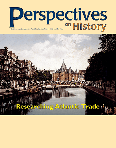
AHA Today

David Rumsey Map Collection Online

Elisabeth Grant | Oct 1, 2008

Almost two years ago we reported the addition of David Rumsey Historical Maps to the Google Earth application. But did you know that 120 Rumsey Historical Maps have also been integrated into Google Maps? This mashup has the same features as the Google Earth/Rumsey Map combination (like the ability to adjust the transparency of the map overlay) but without the need to download other software.

For example, here is the Asia 1787 map:

Asia 1787 map

Or, check out Oahu, Hawai’i in 1899:

Hawaii, Oahu 1899

Or, on a smaller scale (i.e. a city), view Washington, D.C. in 1851.

Washington, D.C. 1851 map

Here is a complete list of the 120 Rumsey maps available on Google Maps and Google Earth.

But while the 120 Google Map/Rumsey Maps are, let’s admit it, incredibly cool, there are even more David Rumsey Historical Maps available online without the Google Map element. 18,460 maps are available, to be precise.

These maps are varied not only in the locations depicted, but also in the types of map. A few examples include the expected types like antique atlases and city maps, but also school geography, pocket maps, manuscript maps, and maritime charts.

Part of the impressiveness of this site comes from the high-resolution quality of the images. Not only are they crisp and clear, they can also be magnified considerably for an exceedingly detailed view. For example, below is a magnified edge of a book of maps:

David Ramsey Map Zoom detail

This post first appeared on AHA Today.


Tags: AHA Today Resources for History Enthusiasts


Comment

Please read our commenting and letters policy before submitting.